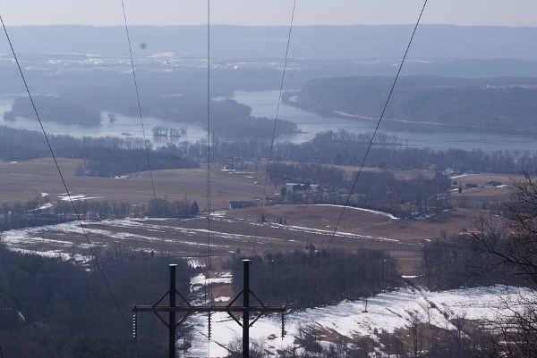
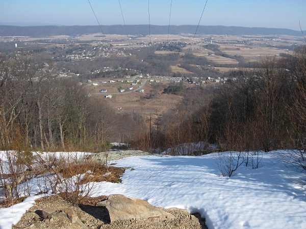
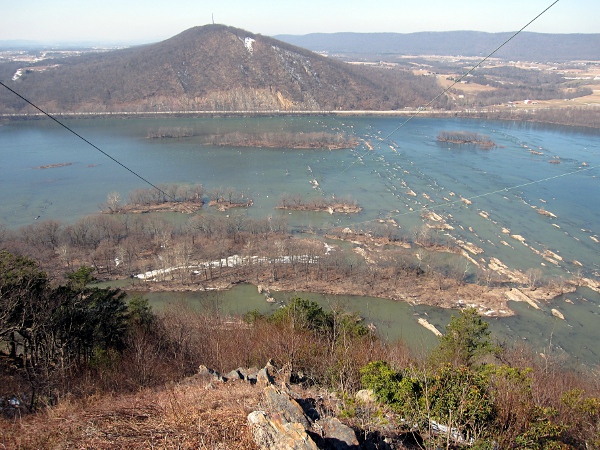
Parked at the Ned Smith Nature Center. Crossed the bridge over the Wiconisco Creek. Followed the old railroad bed west toward the powerline. Took the powerline trail straight up the mountain. It was difficult with the hard, smooth crust on the snow. Once on top of the mountain I took some pictures. photo photo
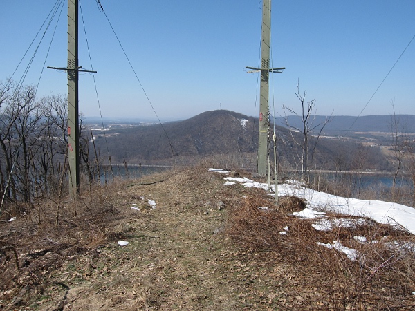
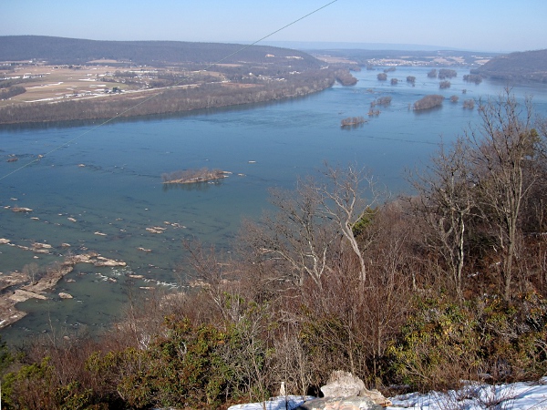
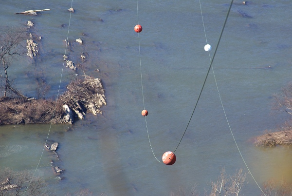
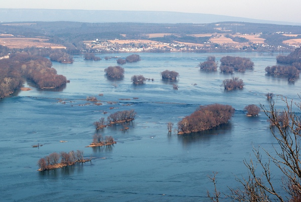
Walked across the top of the mountain to the western end and took some more pictures. photo photo photo photo photo
There were No Trespassing signs posted by PP&L near the western end of the mountain. I had walked too far to stop. I figured it would be my one and only time up there.
Walked total of 7.78 miles.