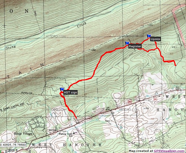
Parked in game lands parking area off Route 443. I walked the gated access road until it met the Horse-Shoe Trail. I turned right and followed the HST east.
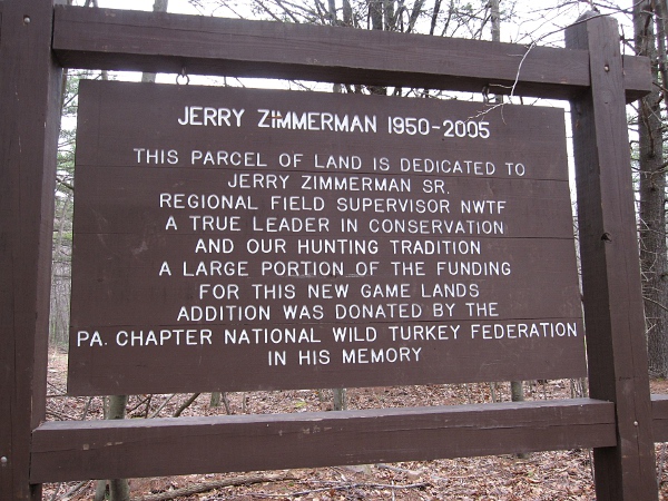
Photo of the HST sign.
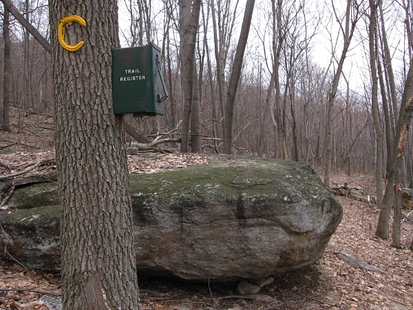
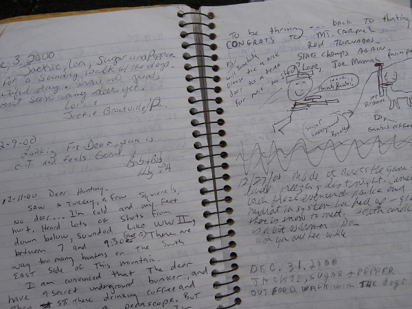
Photos of the trail Register and register book.
Upmtn is where a road headed up the mountain.
Total distance walked was 6.19 miles.