Parked at the Second Mountain Hawk Watch area. Walked the trail along the top of the mountain.
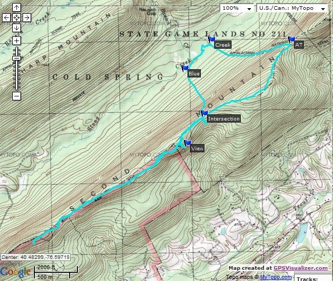
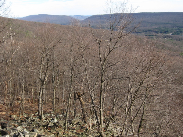
View. lat="40.482065929" lon="-76.593803270". View looking south toward Blue Mountain. looking toward Swatara Gap photo
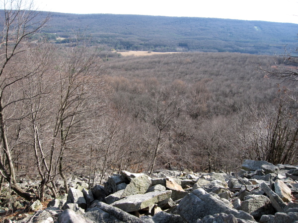
Intersection. lat="40.485850358" lon="-76.590934563". Intersection of the red Game Commission trail and the blue-blazed trail that goes down toward Stony Creek. From here to the car is 1.83 miles. cairn marking intersection
AT. lat="40.493305894" lon="-76.488545258". Where the red trail meets the Appalachian Trail. From the car to this point was 2.83 miles.
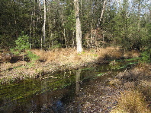
Creek. lat="40.495241778" lon="-76.589753050". Where the Appalachian Trail crosses Stony Creek. photo
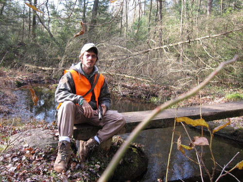
Blue. lat="40.491601015" lon="-76.594183389". Where the blue trail crossed Stony Creek.
The entire walk covered almost 7 miles. Stony Creek