Start. Lat.40°20'42.15"N; Long. 76°36'59.45"W - Put the kayak in at Bindnagels Church.
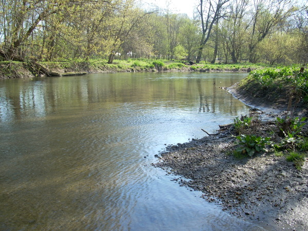
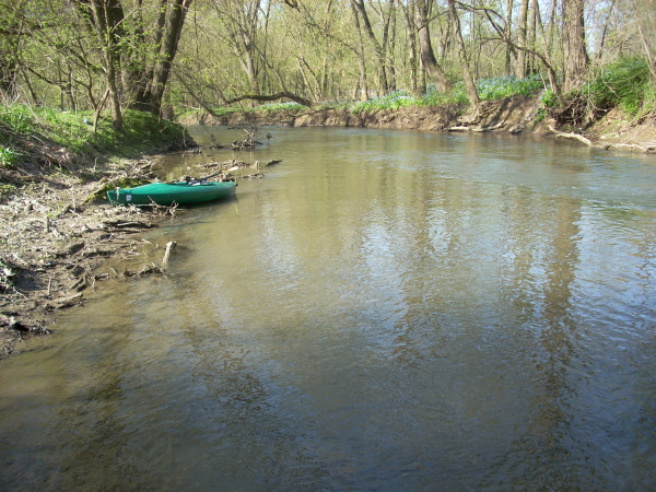
Quittie. Lat.40°21'4.86"N; Long. 76°36'47.56"W - I went this far on the Quittapahilla before running into fishermen. Photo Photo
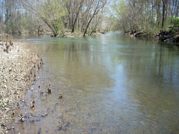
Swatara. Lat.40°21'55.68"N; Long. 76°36'53.14"W - I went this far on the Swatara before deciding to turn around. Photo
The water level of the Swatara at Hershey was 2.37 ft.