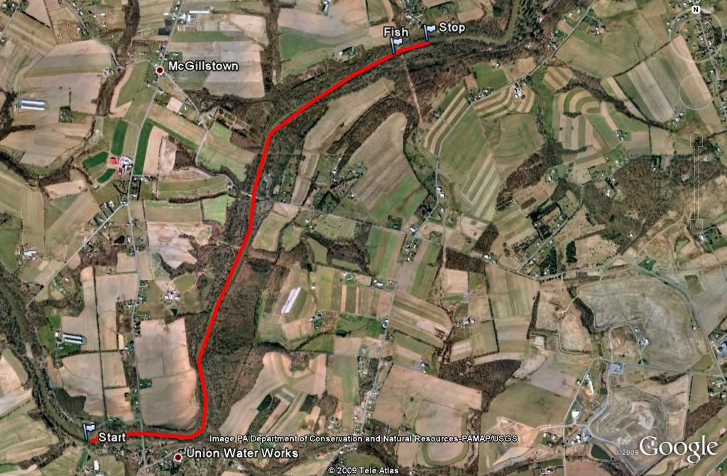
Started at the access point near Water Works. Paddled upstream.
Start. Lat.40°21'59.98"N; Long.76°31'54.05"W. Where I started from.
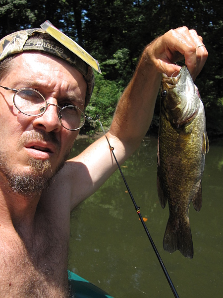
Fish. Lat.40°23'21.55"N; Long.76°30'24.91"W. Where I caught a 13" Smallmouth and Rock Bass.
Stop. Lat.40°23'24.20"N; Long. 76°30'15.44"W.Where I stopped and floated back downstream.
I went under the Heilmandale Rd bridge.
The water level of the Swatara at Hershey was 1.84 ft.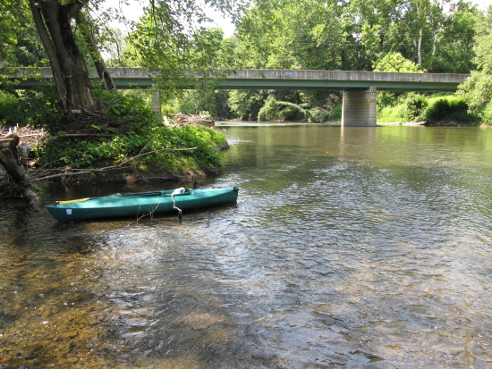