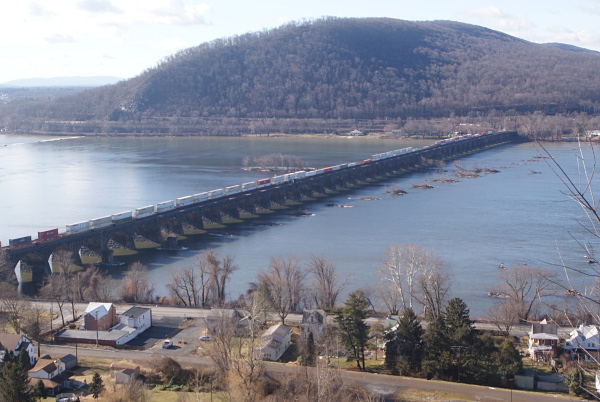
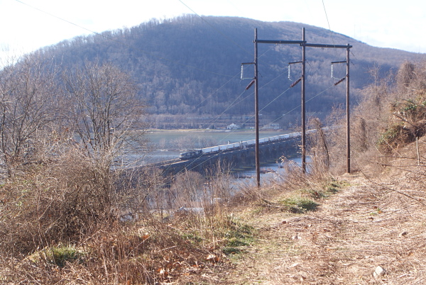
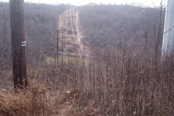
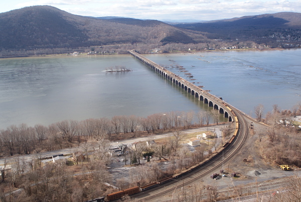
The northern track. I parked at the power station along Roberts Valley Road. I scrambled up the side of Blue Mountain. I took some photos of the Rockville Bridge and surrounding scenery from the top. photo #1 photo #2
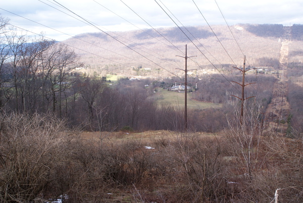
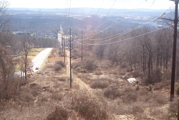
I then followed the powerline access road west photo #3 until it intersected another powerline. facing NW on powerline facing south I followed the powerline down to Roberts Valley Road, and took the road back to my car. This was 2.59 miles.
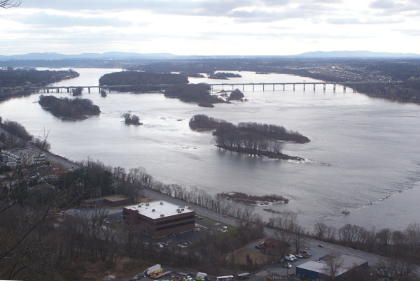
The southern track. I Parked along Buck Run Road. Followed the powerline access road to the top of Blue Mountain. photo #4 photo #5 Followed the old Darlington Trail west toward the river.
Top. lat="40.334730763" lon="-76.898800693". At the top of Blue Mountain looking down at the Susquehanna River. photo photo photo
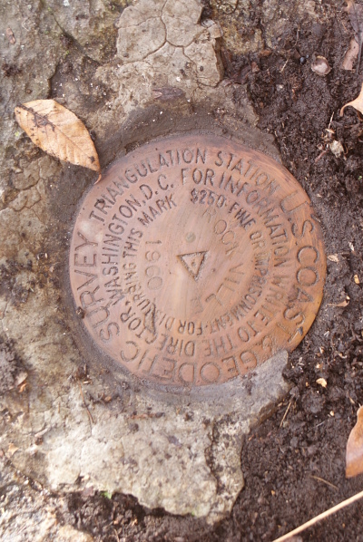
KW3121. lat="40.333850998" lon="-76.898394926"
I Located an NGS geodetic marker (KW3121). photo
This track covered 2.28 miles.