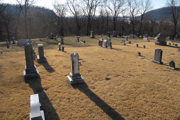
I parked at the gate just off Cemetery Road. I stopped at the Heckton Cemetery. cemetery
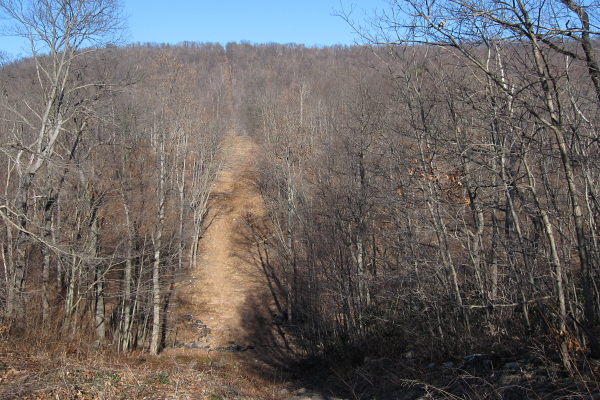
I followed the pipeline clearing to the top of Second Mountain.
Pic 1 Facing north toward the top of Second Mountain.
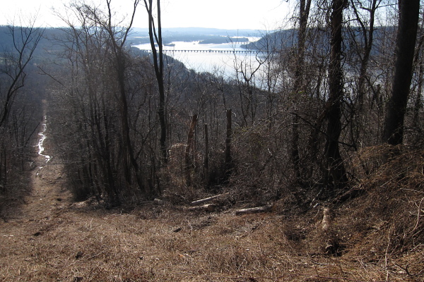
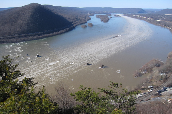
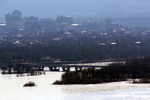
Pic 2 Facing SW toward the Rockville Bridge.
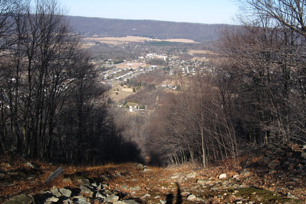
Pic 3 Looking over the north side of the mountain at the town of Dauphin.
Pic 4 - No pictures from the Pic 4 location.
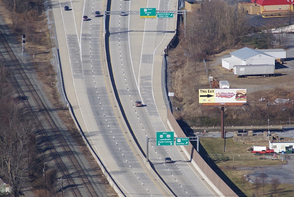
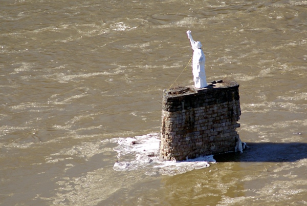
Destination - Views from the top of Second Mountain. lat="40.361095117" lon="-76.922573196" photo photo photo Rt 22/322 Statue of Liberty Harrisburg
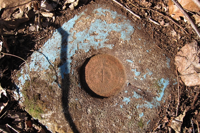
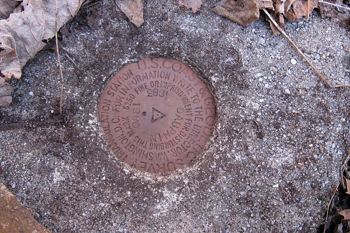
I then went in search of two NGS geodetic disks along the summit of the mountain. I was able to find them both.
kw3119
kw3120
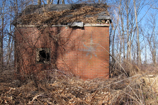
Brick A brick building on the top of the mountain.
I began following a road down the north side of the mountain. Decided to follow that road another day. Saw no game lands signage.
Total distanc walked 5.55 miles.