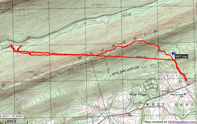
I parked at Game Lands 211 parking area just off Rt. 443. Took the Game Commssion road until it became the Horse-Shoe Trail. I took a trail that branched off the HST and headed up the mountain. The trail reached the top of the mountain then followed the ridge west until it intersected a pipeline clearing/Horse-Shoe Trail. I followed the pipeline cut (HST) up and over the mountain and down to Stony Creek.
I saw a total of six people fishing Stony Creek. They all entered from the side opposite me.
Total distance walked was 8.06 miles
Photos from the trip: Junco Unknown bird Black Snake Stony Creek View north from Second Mtn sign