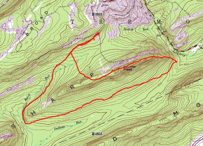
"Panther Head" is marked on topographic maps. I saw it on the maps and decided to see what was up there. It is a summit on Sharp Mountain in Schuylkill County, Pennsylvania. It has an elevation of 1,550 feet. I parked in the parking lot for Game Lands number 229. I hiked along the southern base of Sharp Mountain on the game land trail. According to maps there were old mining roads that would lead me around to the north side of Sharp Mountain and then lead almost to the top. When I arrived at the section of road leading toward the top of the mountain, it became apparent that there was active mining (or something) going on near the top of the mountain in the area of Panther Head. I doubled back, walking until I saw an opportunity to head south toward the top of the mountain. I did some fairly easy bushwacking and reached the top. Once on top, I headed east toward the part of the ridge known as Panther Head. I encountered several pairs of deer along the way. There were no unobstructed views . I made my way back down the mountain toward the car without incident.
The entire hike covered 7.2 miles.
Photos: Vulture, northern view, southern view,