Playing with our new GPS system
I did some exploring last weekend. I had the Garmin GPS unit turned on as I drove. The image below shows the route (in blue) I took.
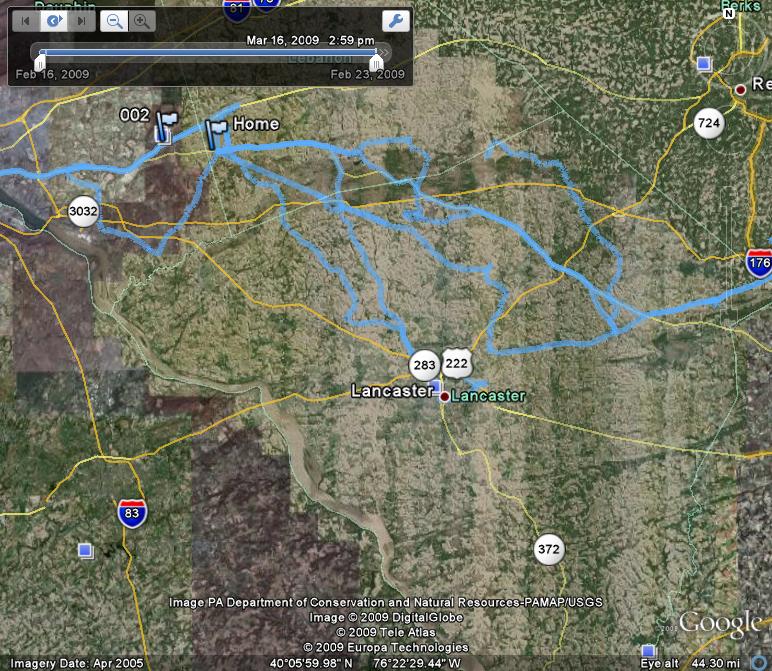
I used a software program called GPSBabel (downloaded online) to retrieve my route data from the GPS unit. I then went into Google Earth and imported my data using File>Open.
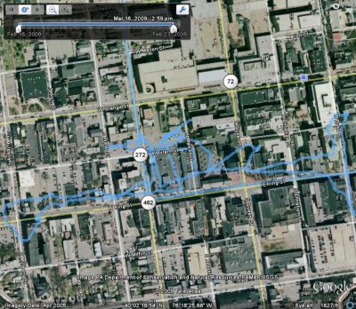
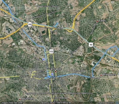
This map is a zoomed-in and scaled-down version of the map above.
This map is zoomed-in even more. It shows where I walked in the city of Lancaster.